
www.FranzosenbuschHeritageProject.org Home
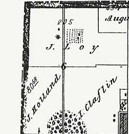
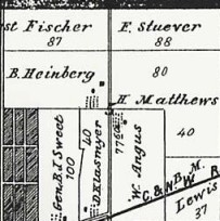
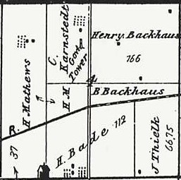
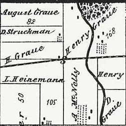
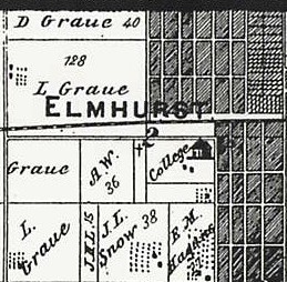
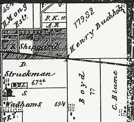
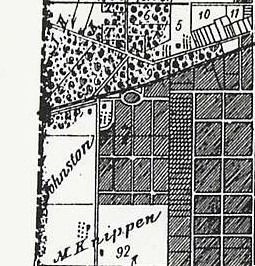
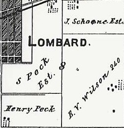
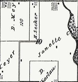
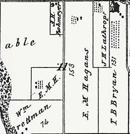
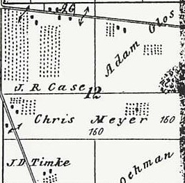
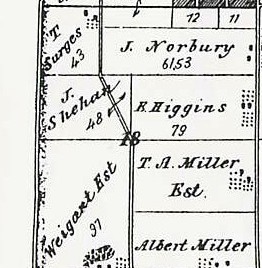
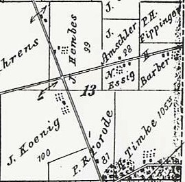
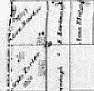
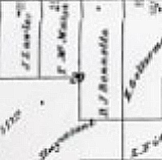
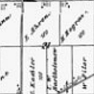
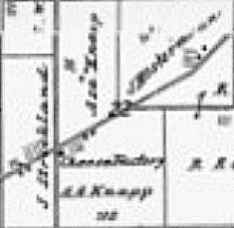
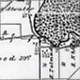
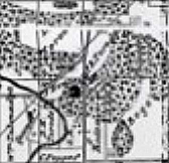
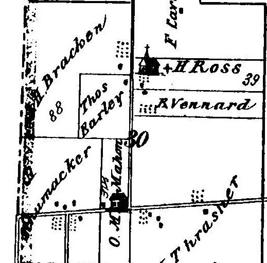
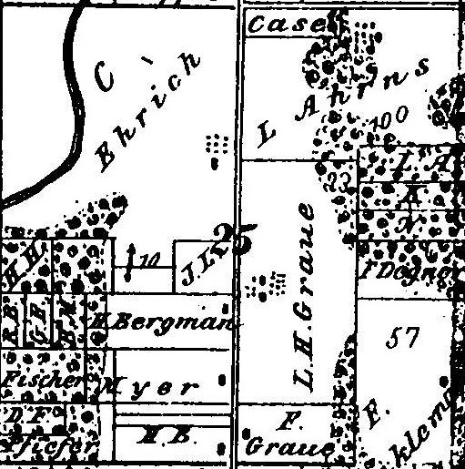
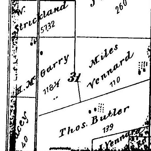
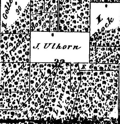
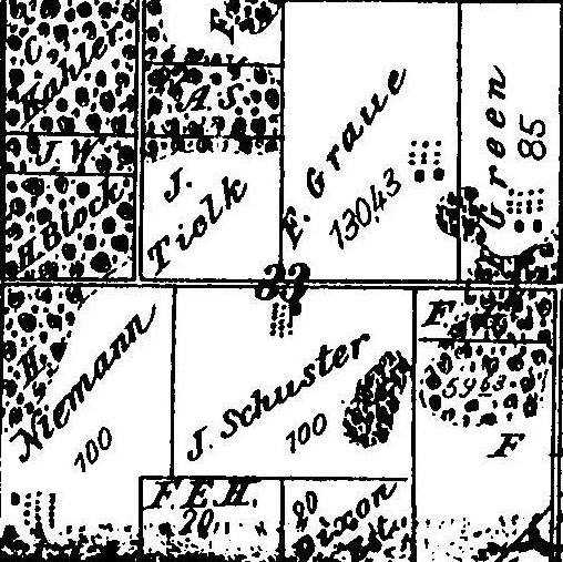
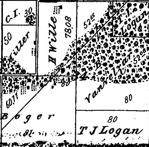
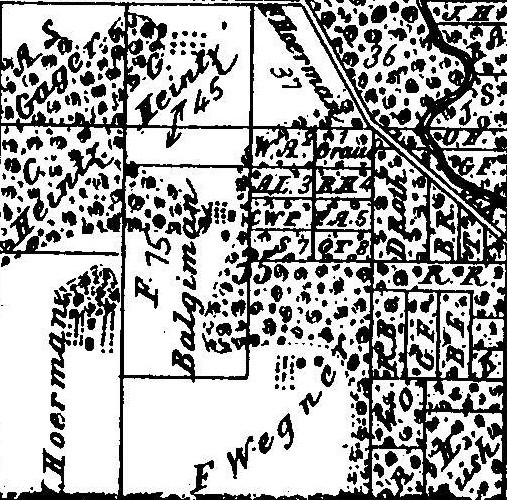
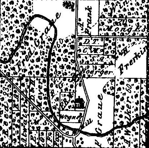
York Township Land Ownership in the 1870s
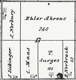
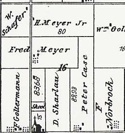
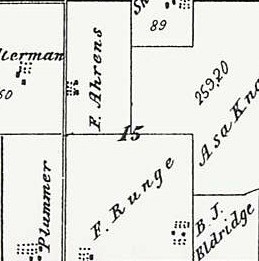
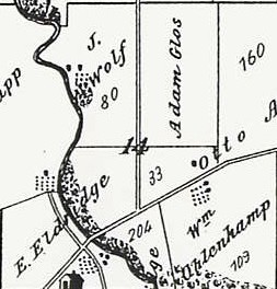
The survey map of York Township is arranged in 36 sections, each approximately a square mile. The numbering of the township's sections is arranged like this:
| 6 | 5 | 4 | 3 | 2 | 1 |
| 7 | 8 | 9 | 10 | 11 | 12 |
| 18 | 17 | 16 | 15 | 14 | 13 |
| 19 | 20 | 21 | 22 | 23 | 24 |
| 30 | 29 | 28 | 27 | 26 | 25 |
| 31 | 32 | 33 | 34 | 35 | 36 |
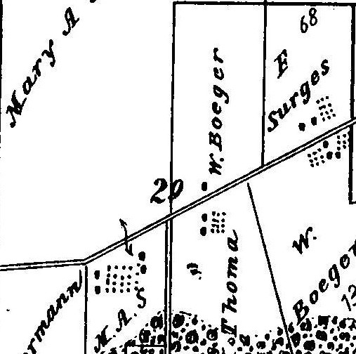
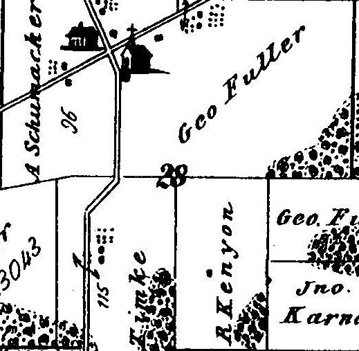
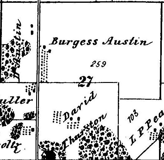
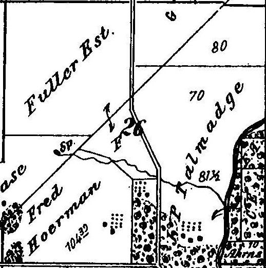
Click on a section below to get a larger view of that section. To give us some reference points:
According to the notations on the survey map, York Township had at the time of the survey:
The total value of the domesticated animals was $63,363.
To see Proviso Township maps click Proviso Township Maps.
The primary source of this information is:
"Cobbs Directory - Pre 1900 Maps Springfield Historical Society", Proviso Township Library", 1898
Last Modified: 12/30/2002